Finding out where the storm actually delivered
The forecast said fresh snow. Down at the base it's wet and disappointing — a few hundred meters up, it might be exactly what you were hoping for.
The problem
A single “X cm of new snow” number for a resort hides a lot. Snowfall totals depend on elevation and the freezing level at the time — the same storm can drop dry powder above a certain height and rain below it.
Why it happens
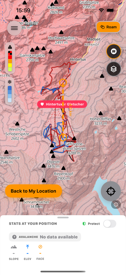
Snowfall (48h) draws recent snowfall from the weather model, shaded only above the snow line — which is itself derived from the freezing level — in bands of 1–3, 3–10, 10–25, and 25+ cm.
How to check it in First Chair
-
Turn on Snowfall (48h)
Check it before you decide where to go — it shades recent snowfall only above the snow line, so totals that actually fell as rain lower down don't mislead you.
-
Compare bands across the resort
1–3cm and 25cm+ are very different ski days, and the difference is often about which elevation you check.
-
Look higher before writing off a marginal base
If the base looks disappointing, check whether the layer shows meaningfully more snow above a certain height.
-
Use it the night before or the morning of
It's a planning check, not something you need mid-run.
Free to download · iPhone & Apple Watch
Download on the App Store