Reading slush before it wrecks your line
Heavy, wet snow doesn't fall evenly across a mountain — it depends on where the sun has been. Here's how to check aspect before you commit to a run.
The problem
Slush is rarely about the whole mountain having bad snow — it's about specific slopes softening faster than others. A run that was perfect an hour ago can turn into deep, grabby slush once the sun swings onto it, and dropping into it unexpectedly is how turns get lost and edges catch.
Why it happens
Sun Exposure integrates the sun's path across every daylight hour for the day you're viewing. At each point it factors in the slope's aspect and steepness from the elevation model, then casts shadows from surrounding peaks — so shaded couloirs and sun-baked pockets both show up clearly, not just an average.
How to check it in First Chair
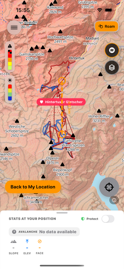
Late July
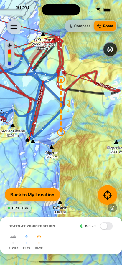
February 11th
-
Turn on Sun Exposure
Open Map Layers and switch on Sun Exposure. Slopes that stay shaded read cooler; slopes that catch sun most of the day read warmer.
-
Check Snow Quality for the run
If the surface class already shows “slushy” or “wet,” that run has likely already turned — no need to guess.
-
Confirm it in Shoot/Compass mode
Point your phone at the slope ahead of you. The same shadow/sun read overlays directly on the real terrain in front of you, not just the map.
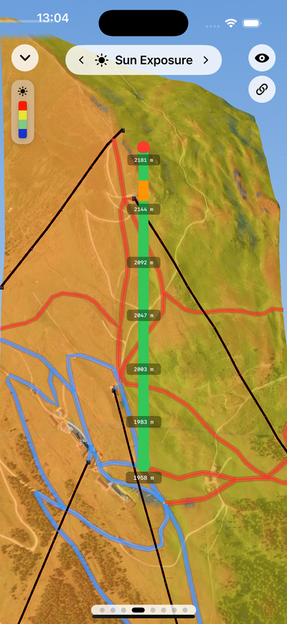
Late July
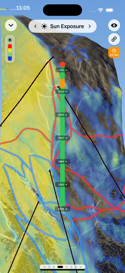
January 22nd
Same slope, same lens — different season. The west-facing side stays sunny in both shots, but the terrain across and behind the ridge flips from barely-shaded in July to solidly in terrain shadow by late January, as the sun's much lower winter path leaves it exposed for a far smaller share of the day. Sun Exposure's map layer has its own "Time of Day" scrubber and date picker (under the layers panel), so you can check exactly how a slope's shadow pattern shifts, hour by hour, before you commit to a line.
-
Favor the shadier option
When two runs look similar on the trail map, pick the one with more shade history for that time of day.
Free to download · iPhone & Apple Watch
Download on the App Store